| ||||
|
Home
|
Schiff
|
Törns
|
Bojenfelder
|
Ankerhaken
|
Bojenfänger
|
Tauchgreifer
|
Notizbuch
|
Bojenfelder Blog
|
Bilder
|
Kontakt
| ||||

| ||||
|
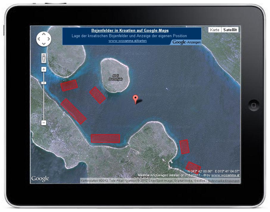
Nautical Anchorages in Croatia
This map should work with all modern Computers, Tablets, Smartphones a.o. If the Device supports Geo-Location (via GPS or IP-Adress), the actual position is displayed in the map. When you click on an anchorage, the informations from the excel-sheet are displayed. | ||||
|
© 2026 by www.wosamma.at | ||||
|
|